
Download AutoCAD Map 3D 2021 Essential Training videos for designer
Link download AutoCAD Map 3D 2021 training course for engineer

AutoCAD Map 3D 2021 Essential Training
Download AutoCAD Map 3D 2021 Essential Training for desginer
Duration: 02:43:00
Handout Type: Video Tutorial
English language
Description: AutoCAD Map 3D enriches your map data, making it more visual and intelligent. With AutoCAD 2021, the Map 3D toolset ships free, bringing an intelligent geographic information system (GIS) to every AutoCAD drawing. Join GIS consultant and trainer Gordon Luckett in this course, where he shows how to use this powerful program to edit data within existing AutoCAD drawings and connect to outside databases for new sources of information. He also shows how to connect to, style, and analyze GIS data, and publish your data and final maps to a web-based map book. All of this and more is possible with AutoCAD Map 3D. Start watching, and learn how to bring the power of geodata to your DWGs.
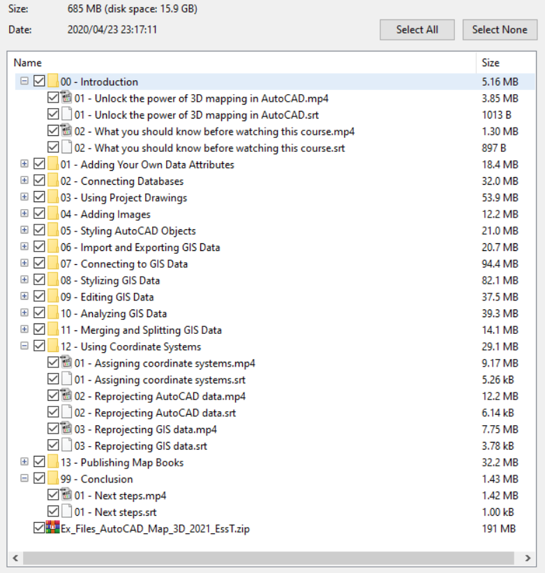
CONTENTS
00 – Introduction
Unlock the power of 3D mapping in AutoCAD
What you should know before watching this course
01 – Adding Your Own Data Attributes
Creating object data definitions
Attaching object data to AutoCAD objects
Modifying object data
02 – Connecting Databases
Connect to a database
Link a database to AutoCAD objects
03 – Using Project Drawings
Attaching source drawings
Performing location queries
Performing property queries
Performing object data queries
Performing database queries
04 – Adding Images
Adding raster images
Modifying raster images
05 – Styling AutoCAD Objects
Adding drawing data in Display Manager
Styling drawing data in Display Manager
06 – Import and Exporting GIS Data
Importing GIS data
Exporting GIS data
07 – Connecting to GIS Data
Connecting to file-based vector data
Connecting to raster data
Connecting to raster surfaces
Connecting to ODBC points
Using the Autodesk connector for ArcGIS
Adding images using the WMTS connector
08 – Stylizing GIS Data
Stylizing vector layers
Thematic vector layers
Adding scale dependance
Filtering vector layers
Stylizing raster layers
09 – Editing GIS Data
Add existing AutoCAD objects
Load existing AutoCAD objects
Draw new features from scratch
Bulk copy between GIS data sources
10 – Analyzing GIS Data
GIS joins
Buffer analysis
Overlay analysis
Calculated properties
11 – Merging and Splitting GIS Data
Splitting GIS data
Merging GIS data
12 – Using Coordinate Systems
Assigning coordinate systems
Reprojecting AutoCAD data
Reprojecting GIS data
13 – Publishing Map Books
Preparing a map book
Create and publish a map book
99 – Conclusion
Next steps
Exercise Files
For download this AutoCAD Map 3D 2021 Essential Training videos, please click to download sysmbol and complete your checkout to support a little bit to help my website is maintained. The download link will be appeared automatically after you complete your payment.

After you receive *.zip file, open it and open *.txt instruction’s file to see video for download instruction if you don’t know how to download.
All make sure you’ll get best services and we’ll help you any time when you get any problems. Don’t mind to contact admin: clickdown.org@gmail.com.
p/s: You also can request somethings which don’t have inside this website, we’ll try our best to them it for you.
Thank you.